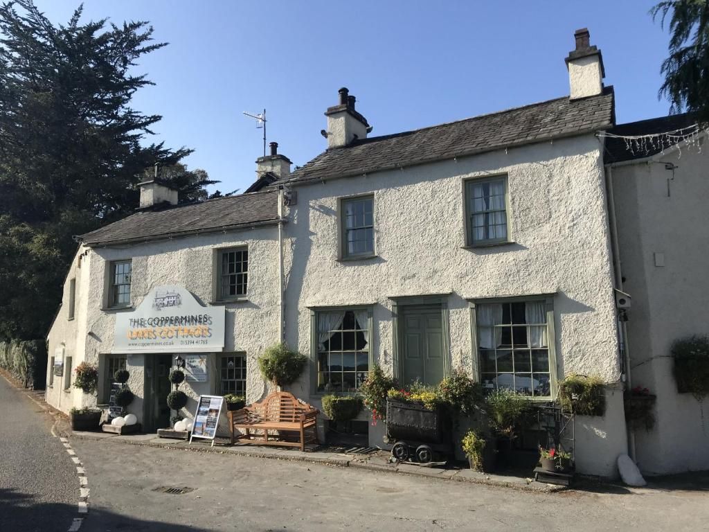
2.
SD 29751 97732 Open in OS Maps
3. Bonsor Mine
Mine workings and waterwheel tower. Water flowed down the hill side through leats flowing form one to the next.
SD 29110 98805 Open in OS Maps
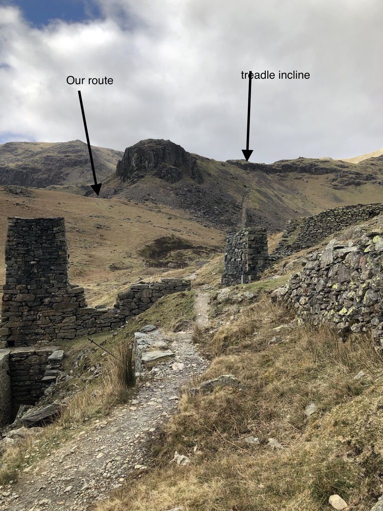
4. Information board about accident
at the board follow the clear path left to the ridge and then along the leat which contours round the crag to the track.
SD 28683 99090 Open in OS Maps
5.
SD 28293 99067 Open in OS Maps
6. Levers Water
The reservoir for Coniston. Turn left onto the dam and along. Just past the Simon's Nick, left and up, choose your route, I prefer to follow the fence line. Descend following clear path. Donate to Fix the Fells for the work they have done to improve the bottom very boggy sectiion
SD 28193 99194 Open in OS Maps
7.
SD 28036 98727 Open in OS Maps
8. Pudding Stone
favourite with scramblers A possible route down to Coppermines valley left before the bridge
SD 28050 98443 Open in OS Maps
9. Windy Gap
Crossing point of paths, Right to top of Old Man. Left down to Miners' bridge and Coniston. Our route straight on to Walna Scar Car Park and Ice cream
SD 28420 98084 Open in OS Maps
10.
SD 28492 97727 Open in OS Maps
11. Walna Scar Car Park
There is usually an Ice cream van here. No promises. Our route is straight on. /If you fancy another 4 or so miles, of excellent views turn right along the track (Walna Scar road) and pick up my Coniston Banishead Walk. /The Road walk down the hill to Coniston is steep. I don't like it
SD 28900 97045 Open in OS Maps
12. Through metal gate and the wild flower meadows
An alternative to the track on the route map
SD 28989 96682 Open in OS Maps
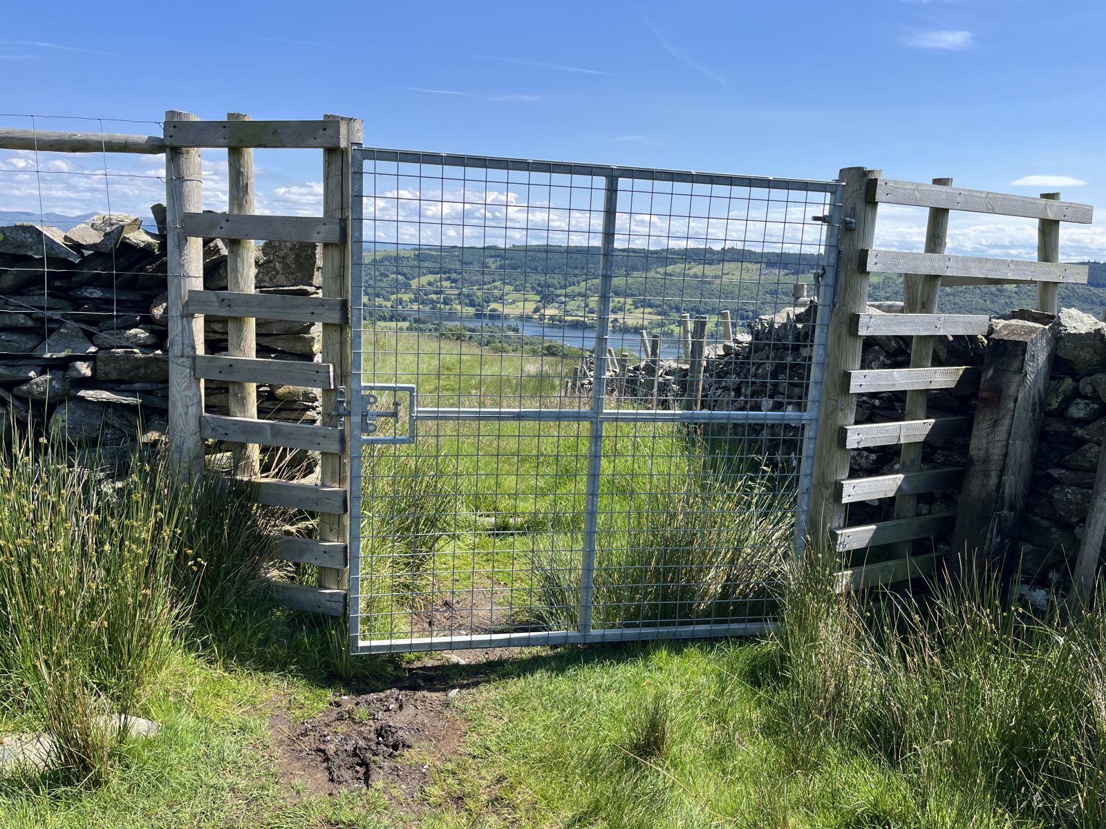
13. Gate by ladder stile
Pleasant track going down the hill, after crossing stream look out for half left through gate down to Coniston.
SD 29083 96589 Open in OS Maps
14.
SD 29882 96844 Open in OS Maps
16.
SD 30042 97448 Open in OS Maps